Flight withDemian
A 57-minute loop north from Adazi over Saulkrasti, inland to Sigulda and back down the Gauja valley. Ground track, interactive map and the full onboard footage from both cameras are below.
Ground track
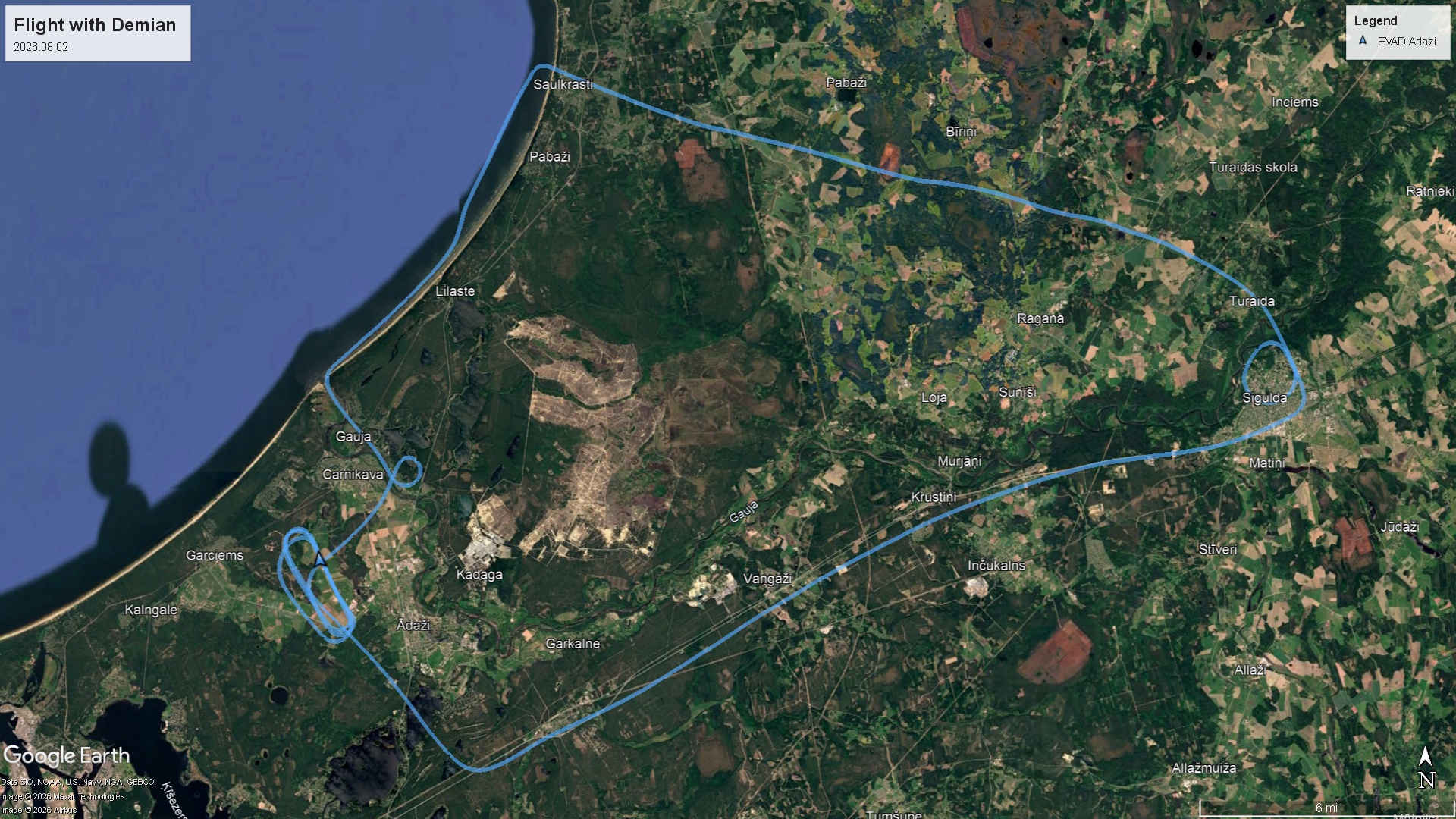
Interactive map
Footage
GoPro
How to play
These two files are one continuous recording. The camera splits long takes
automatically, so play them in order - 01 then 02.
The camera was mounted upside down, so the files carry a 180° rotation flag. VLC, mpv, Windows Photos, Premiere and DaVinci Resolve all apply it. If some player shows the picture inverted, that player is ignoring the flag - try VLC.
The video is H.265/HEVC. Windows may ask for its free HEVC extension the first time; VLC or mpv play it without anything extra.
Insta360 X5
Software required
An .insv is not a normal video file. It holds the two raw circular
fisheye images the camera shot, side by side. Open one in VLC and you get two
distorted circles - you need Insta360 software to stitch them into a 360° sphere.
Desktop: Insta360 Studio - free, Windows and macOS. Import both files, aim the camera wherever you want, then export a normal MP4. It also installs a plugin for Adobe Premiere Pro.
Phone/tablet: the Insta360 app opens the same files.
Keep the original filenames and download both - Studio uses the names to recognise them as one recording.